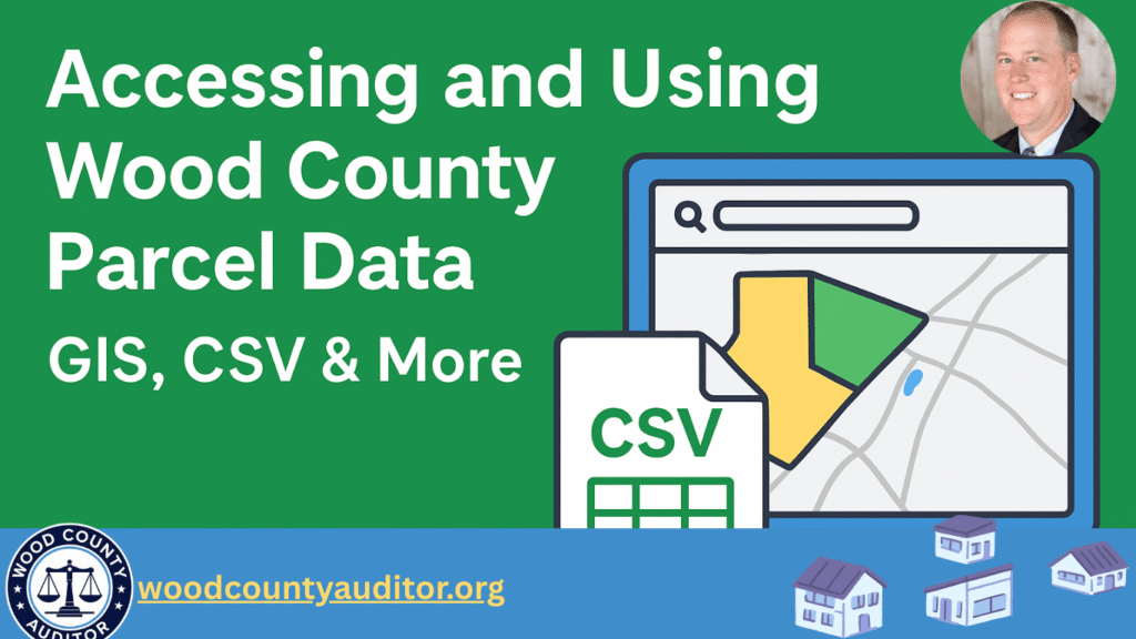
Parcel data helps users find property boundaries, ownership information, tax values, and map-based details. Whether you’re a homeowner, researcher, real-estate investor, or developer, Wood County provides several tools to access parcel information in multiple formats such as GIS, CSV, shapefiles, and online map viewers.
This guide explains everything step-by-step.
1. What Is Parcel Data?
Parcel data includes:
- Property boundaries
- Parcel ID or PIN
- Owner name & mailing address
- Land value & building value
- Acreage
- Tax district & land-use code
- Map layers (roads, zoning, floodplain, utilities)
Parcel data is used for tax assessments, planning, land verification, and real-estate decisions
2. Wood County Parcel Data Where to Access
Wood County provides parcel data through official GIS portals and mapping tools. Access options depend on which Wood County you are working with.
Parcel Viewer (Online Map)
Lets you search parcels, view boundaries, and check basic property attributes.
County Engineer GIS Mapping
Additional layers such as aerial imagery, roads, drainage, and county infrastructure.
3. Available Parcel Data Formats
Wood County parcel data usually comes in multiple digital formats:
GIS Shapefiles (SHP)
- Ideal for mapping and spatial analysis
- Open in QGIS or ArcGIS
CSV Files
- Open in Excel or Google Sheets
- Good for sorting, filtering, or tabular analysis
GeoJSON & KML
- Great for web apps and online map tools
- Can be imported to Google Earth or web-based GIS viewers
Online Interactive Maps
- No download required
- Simple search by owner name or parcel number
4. How to Download Parcel Data (Step-by-Step)
Step 1: Open the GIS Portal
Visit the Wood County GIS/ArcGIS Hub or land records viewer.
Step 2: Search for “Parcel” Layer
Most portals include:
- Parcel Boundaries
- Parcel Ownership
- Tax Districts
Click the layer you want.
Step 3: Choose Download Format
- CSV
- Shapefile
- GeoJSON
- KML
- Excel (sometimes)
Step 4: Save and Open the File
- Use QGIS for mapping
- Use Excel for spreadsheets
- Use Google Earth for KML
Step 5: Analyse or Export Data
- Filter parcels
- Compare values
- Create custom maps
- Merge with tax data
- Export selected rows
5. How to Use Parcel Data
Parcel data is helpful for many types of work:
For Homeowners
- Check property boundaries
- Verify tax assessment
- Confirm acreage or lot size
For Real-Estate Agents & Investors
- Evaluate land value
- Compare properties in the same district
- Understand zoning or land-use restrictions
For Developers & Surveyors
- View GIS layers
- Study elevation, floodplain, utilities
- Analyze site conditions for planning
For Research & Education
- Study population growth
- Analyze land-use patterns
- Create maps for reports or projects
6. Benefits of Using Wood County Parcel Data
- Official & reliable information
- Free or low-cost access
- Multiple formats for different software
- Easy to search and map-based tools
- Updated regularly by county GIS staff
7. Tips for Best Result
- Always download the latest version of parcel data
- Use GIS software for detailed mapping
- Combine parcel layers with zoning, roads, and aerial imagery
- Confirm ownership through Auditor or Assessor records if needed
- Use CSV files for clean reporting and analysis
Conclusion
Wood County makes it easy to access parcel data through official GIS portals, download tools, and parcel viewers. Whether you need GIS files, CSV data, or simple map-based lookup, the county provides flexible options for homeowners, businesses, researchers, and real estate professionals.
With the right tools and formats, you can visualise property boundaries, analyse land information, and make better decisions for any project.
What is parcel data in Wood County?
Parcel data includes property boundaries, parcel ID, ownership details, land value, building value, acreage, tax district, and related mapping layers maintained by the county.
Where can I access Wood County parcel data online?
You can access parcel data through the county’s GIS portal, parcel viewer, or land records system. These tools allow you to view property maps, search parcels, and download files.
Is Wood County parcel data free to download?
Yes. Most parcel layers and GIS files are free to view and download directly from the official county GIS or land records portal.
What file formats are available for parcel data?
Common formats include:
CSV (Excel-friendly)
Shapefiles (SHP)
GeoJSON
KML (Google Earth)
Online web maps
Do I need special software to open parcel data?
You can open CSV files in Excel, but for mapping files like shapefiles and GeoJSON, you will need GIS software such as QGIS or ArcGIS.
Can I search for a parcel by owner name or address?
Yes. Most parcel viewers allow searching by:
Owner name
Parcel number
Address
Map location
Can I request custom parcel reports?
Yes. Many GIS departments provide custom exports or large datasets upon request, especially for research or commercial use.